
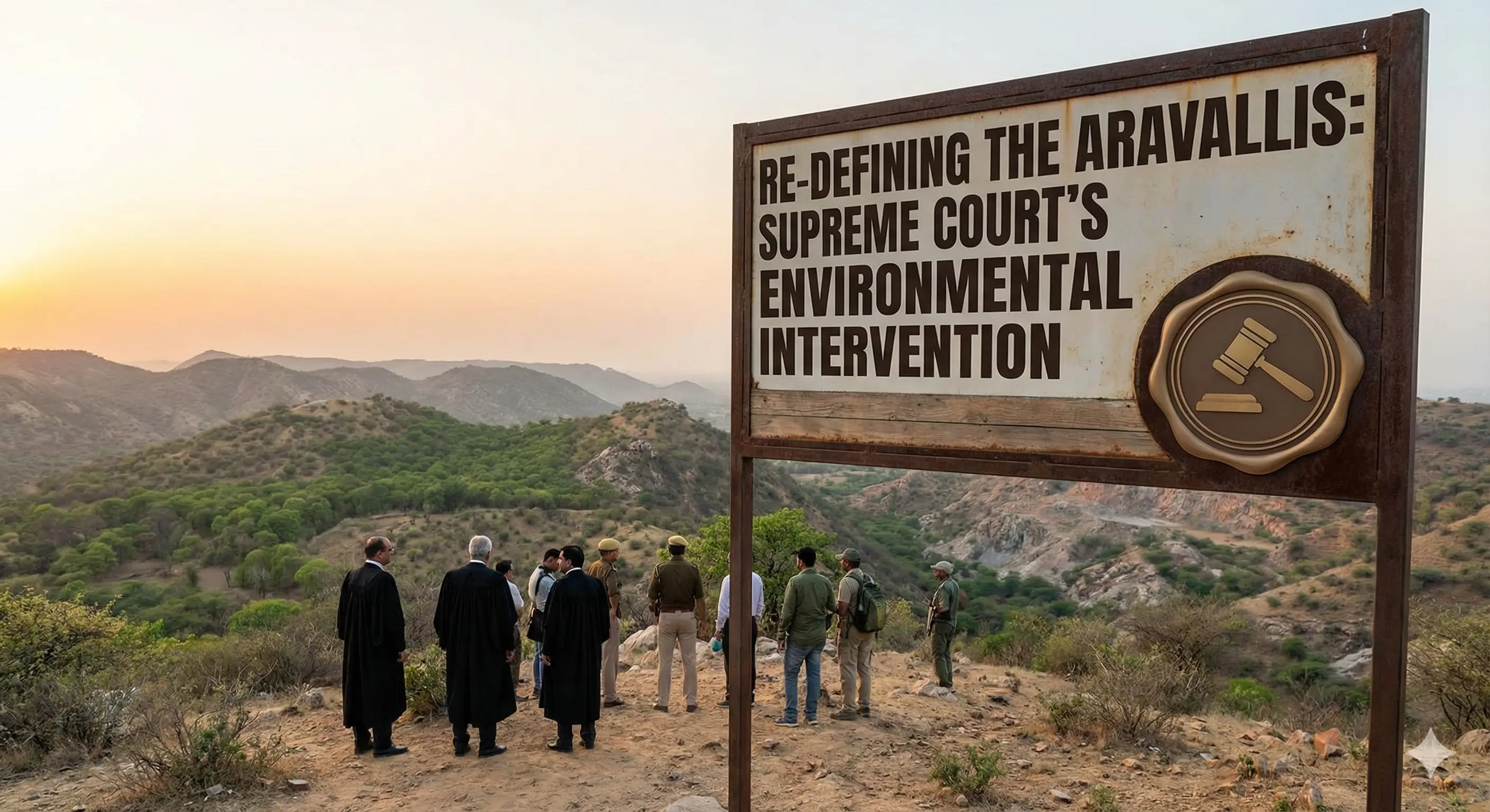
Re-defining the Aravallis: Supreme Court’s Environmental Intervention
In November 2025, the Supreme Court of India delivered a landmark judgment settling a uniform scientific definition for the Aravalli Hills. The ruling pauses fresh mining leases, mandates a Sustainable Mining Management Plan, and aims to resolve the long-standing conflict between urban development/mining and the ecological survival of Northwest India.
Introduction
Context & Background
Key Points
- •Geological Heritage (Beginner Concept): The Aravallis formed via the Aravalli-Delhi Orogeny. In geology, an 'orogeny' is a process where the Earth's crust folds to create mountains. Being 2 billion years old, they are highly eroded, appearing as low hills or ridges rather than towering peaks like the Himalayas.
- •The Water Divide: The range acts as a watershed. Rain falling on one side flows towards the Arabian Sea (via rivers like Mahi, Sabarmati, Luni), and on the other side towards the Bay of Bengal (via Banas and Chambal tributaries). Crucially, the rivers here are ephemeral, meaning they only flow during the rainy season.
- •Supreme Court's '100-Metre' Definition: The Court ruled that only hills above 100 meters will be legally classified as Aravalli Hills. While this provides clarity, it is controversial because many ecologically important low-lying ridges and rock formations are less than 100m high and might now lose protection.
- •Management Plan for Sustainable Mining (MPSM): The Court has not banned mining forever but directed a scientific pause. The new plan will demarcate 'no-mining zones' (sensitive areas) and 'regulated mining zones' based on the carrying capacity of the land.
- •The Green Wall Defense: The Aravallis are central to the 'Aravalli Green Wall Project', a 5-km wide buffer zone initiative designed to combat desertification. Protecting the hills is essential for this project to succeed.
- •Ecological Services: The range is a groundwater recharge zone. Its fractured quartzite rocks allow rainwater to seep underground, refilling aquifers that supply water to thirsty cities like Gurugram and Delhi.
- •Biodiversity & Wildlife: It hosts 22 wildlife sanctuaries and serves as a wildlife corridor (a safe passage route) connecting major reserves like Ranthambore and Sariska. It is home to leopards, nilgai, and jackals.
Quick Facts: The Aravalli Range
| Feature | Details | Significance | Bookmark |
|---|---|---|---|
| Highest Point | Guru Shikhar (1722m) in Mount Abu, Rajasthan | Tourist hub and ecological hotspot. | |
| River Systems | Luni, Sabarmati, Banas, Sabi, Sahibi | Crucial for local agriculture; separates drainage of Arabian Sea vs Bay of Bengal. | |
| Key Minerals | Zinc, Lead, Marble, Gypsum, Rock-phosphate | Economic driver but the root cause of illegal mining and destruction. | |
| States Covered | Gujarat, Rajasthan, Haryana, Delhi | Requires inter-state coordination for effective management. |
Supreme Court Directions vs. Environmental Concerns
| SC Direction | Intended Benefit | Associated Concern/Criticism | Bookmark |
|---|---|---|---|
| 100-meter Definition | Creates a clear, uniform legal standard to stop ambiguity. | Ecologically Inadequate: Excludes low-lying hillocks and ridges (under 100m) which are vital for water recharge. | |
| Pause on New Leases | Stops immediate destruction until a plan is ready. | Existing mining continues under 'strict regulation,' which may still degrade the environment. | |
| MPSM Implementation | Ensures mining is done scientifically and sustainably. | Requires strong inter-state coordination and enforcement, which has historically been weak (e.g., mining mafias). |
Related Entities
Impact & Significance
- •Combating Desertification: The Aravallis act as a shield against the Thar Desert. If the hills vanish, sand storms will increase in frequency and intensity across the National Capital Region (NCR).
- •Water Security: For a beginner, think of the Aravallis as a massive underground tank. The cracks in the rocks absorb rainwater. Destroying the surface rock for mining stops this absorption, leading to water scarcity in Gurgaon and Delhi.
- •Air Quality Control: The forested tracts of the Aravallis act as a carbon sink (absorbing CO2) and a barrier against dust. Their degradation directly correlates with the worsening air pollution in North India.
- •Urban Microclimate: The hills regulate local temperatures. Their removal creates Urban Heat Islands, making cities like Jaipur and Delhi significantly hotter.
- •Cultural Heritage: The range houses historical forts like Chittorgarh and Kumbhalgarh, linking India's history with its geography.
Challenges & Criticism
- •The Definition Loophole: By defining Aravallis only as hills above 100m, the SC might inadvertently allow developers to flatten smaller hills for real estate or mining, arguing they don't legally count as 'Aravallis'.
- •Illegal Mining Mafias: Enforcement is difficult. In places like Faridabad and Alwar, mining continues at night despite bans, driven by the high demand for construction stone (aggregate) in the NCR.
- •Legal Protection Gap: Large parts of the Aravallis in Haryana are not officially notified as 'Forests'. This means they don't get protection under the Forest Conservation Act, making them vulnerable to privatization.
- •Fragmentation: Mining pits and highways cut through the hills, breaking the wildlife corridors. Animals like leopards are forced into human settlements, leading to human-wildlife conflict.
Future Outlook
- •Unified Governance: The way forward requires a 'Whole of Government' approach where Delhi, Haryana, Rajasthan, and Gujarat work together under a single Aravalli conservation authority.
- •Community Engagement: Following the Joint Forest Management (JFM) model (like in Madhya Pradesh), local communities must be involved in conservation so they have a stake in protecting the forest.
- •Eco-Sensitive Zones (ESZ): More areas need to be notified as ESZs (like Rajasthan has done for some belts), prohibiting high-impact industries near the hills.
- •Urban Integration: Cities should adopt models like Hyderabad’s 'Haritha Haram', integrating afforestation into urban planning rather than viewing forests as obstacles to growth.
UPSC Relevance
- • GS-1 (Geography): Formation of fold mountains (Orogeny), drainage systems (radial/dendritic patterns), mineral resources.
- • GS-3 (Environment): Environmental Impact Assessment (EIA), Desertification, Conservation models, Sustainable Development.
- • Prelims Focus: Rivers originating in Aravallis, highest peak, states covered, minerals found.
- • Mains Focus: Critical evaluation of the SC judgment—balancing development (mining) with environment (desertification).
Sample Questions
Prelims
Consider the following statements regarding the Aravalli Range:
1. It is a young fold mountain range formed during the Tertiary period.
2. It acts as a water divide between the Indus and Ganga river systems (broadly) and separates Bay of Bengal drainage from Arabian Sea drainage.
3. Guru Shikhar is the highest peak of the range.
4. The Banas and Luni rivers originate from this range.
Answer: Option 2, Option 3, Option 4
Explanation: Statement 1 is incorrect. Aravallis are Old Fold Mountains formed in the Precambrian era, not Young Fold Mountains (like the Himalayas).
Mains
The Supreme Court’s recent intervention to define the Aravallis attempts to balance economic extraction with ecological preservation. Discuss the significance of the Aravallis in checking desertification and the potential challenges in implementing the 'Management Plan for Sustainable Mining' (MPSM).
Introduction: The Aravallis act as a barrier to the Thar desert and a water tower for NW India. The recent SC judgment brings legal clarity but faces implementation hurdles.
Body:
• Significance: Checks eastward expansion of Thar (Climate Divide); Recharge of aquifers (Water Security); Biodiversity corridor.
• SC Directions: Uniform definition (>100m), pause on fresh leases, MPSM formulation.
• Challenges: 100m definition excludes critical low-lying recharge zones; Inter-state coordination issues; curbing the powerful mining mafia.
• Impact: If failed, leads to rapid desertification of NCR and severe water crisis.
Conclusion: A 'Whole of Society' approach involving local communities and strict satellite-based monitoring is essential to ensure the MPSM succeeds where previous bans failed.